A Hiking Guide to New Mexico
When you think of New Mexico, you might think of the desert heat and tarantulas but the state is full of surprises like waterfalls, slot canyons and forests - if you just know where to look. I’ve put together a hiker’s guide to New Mexico broken out by regions as that seemed to be the simplest way.

Kasha Katuwe Tent Rocks National Monument, New Mexico
Santa Fe Area
Trails: Easy to Moderate
Santa Fe National Forest boasts 1.6 million acres of mountain scenery and a thousand miles of hiking trails throughout. Please be advised that most of the hikes in this area are easy to moderate, but the elevation level will still kick your butt!
Jemez Falls is an oasis from the desert heat and a little over an hour northwest of Santa Fe. Take Jemez Falls Trail to a small waterfall overlooking the larger falls. The East Fork Trail will take you to the bottom of the falls but the trail is currently closed for maintenance until December 2019. If you’re looking for less of a hike but still a nice cooling soak, check out Soda Dam.
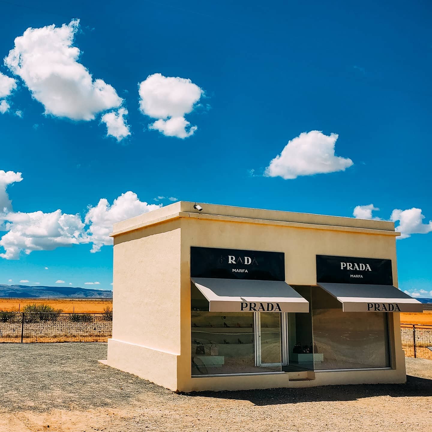
To fulfill all of your slot canyon dreams, head an hour southwest of Santa Fe to Kasha Katuwe Tent Rocks National Monument. The cone-shaped tent rock formations are the products of 6 million year old volcanic eruptions. With limited parking and increased visitation during summer months, delays can start as early as 9 AM… so get there early and bring plenty of water.
Bonus: Check out Jemez East River Slot Canyon for both waterfalls and a slot canyon (as the name implies).
Carlsbad Caverns National Park, New Mexico
Roswell Area
Trails: Easy to Moderate
Two major national parks are within a couple of hours of Roswell: White Sands National Monument and Carlsbad Caverns National Park. I’m going to be honest… both of these parks are in the middle of nowhere, and both are completely worth a visit.
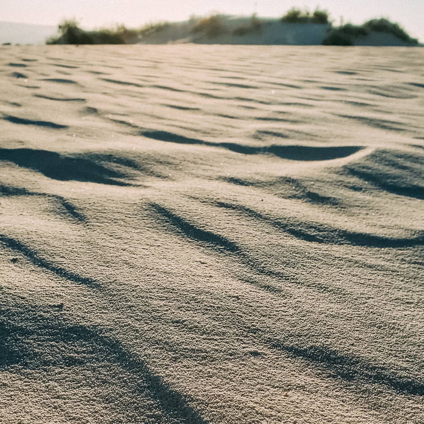
White Sands is the largest gypsum - not sand - dune field in the world, at 275 square miles. Occasionally, the park is closed for missile testing (yes, missile testing - how wild is that?!) and visitors are encouraged to check closures beforehand.
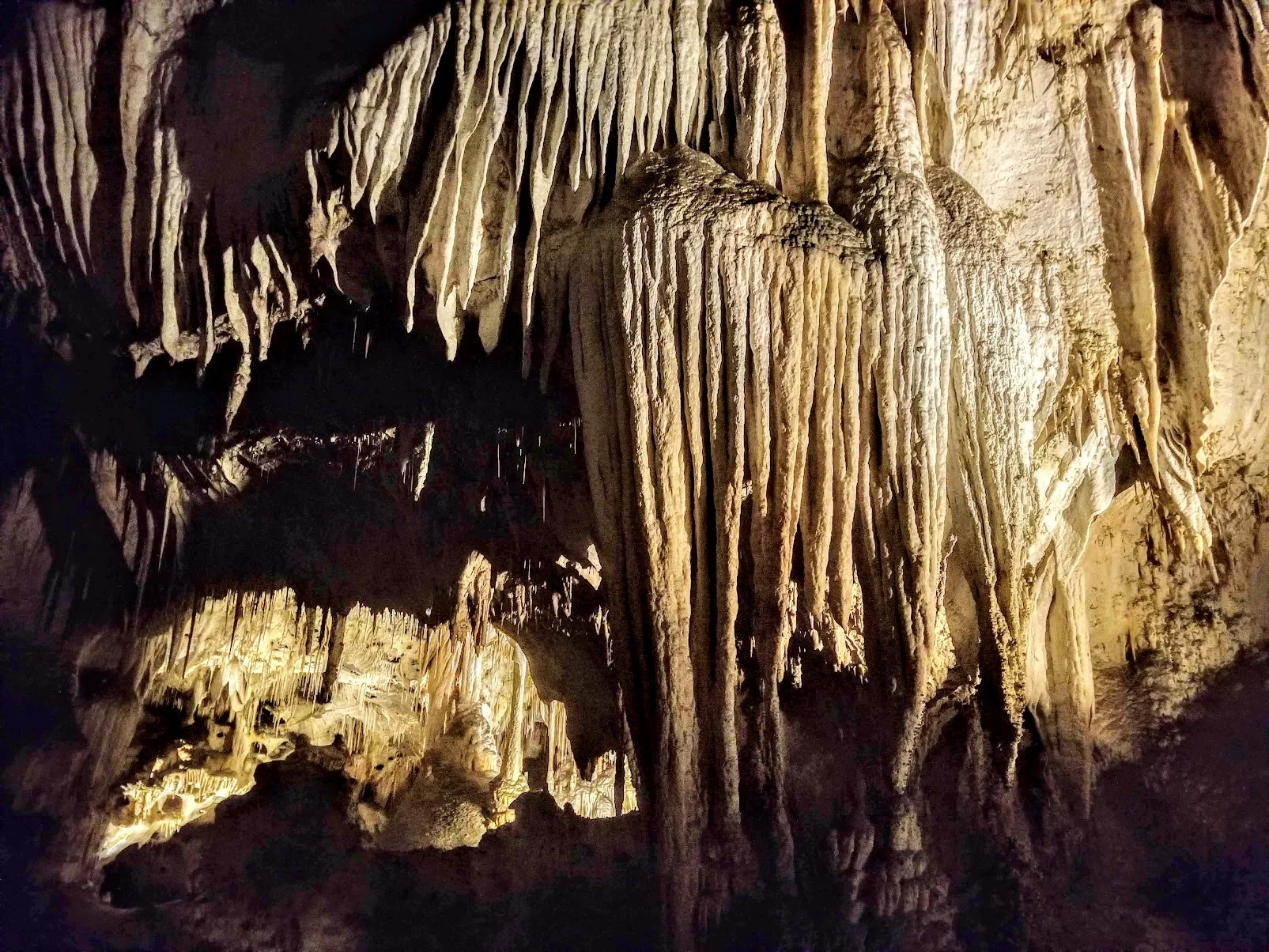
Head underground at Carlsbad Caverns to see over 100 caves formed when sulfuric acid dissolved limestone leaving behind caverns of all sizes. You might want to bring a sweater because you’ll be taking an elevator over 700 feet (!) below ground to explore miles of caverns in 56°F temperatures. (13°C)
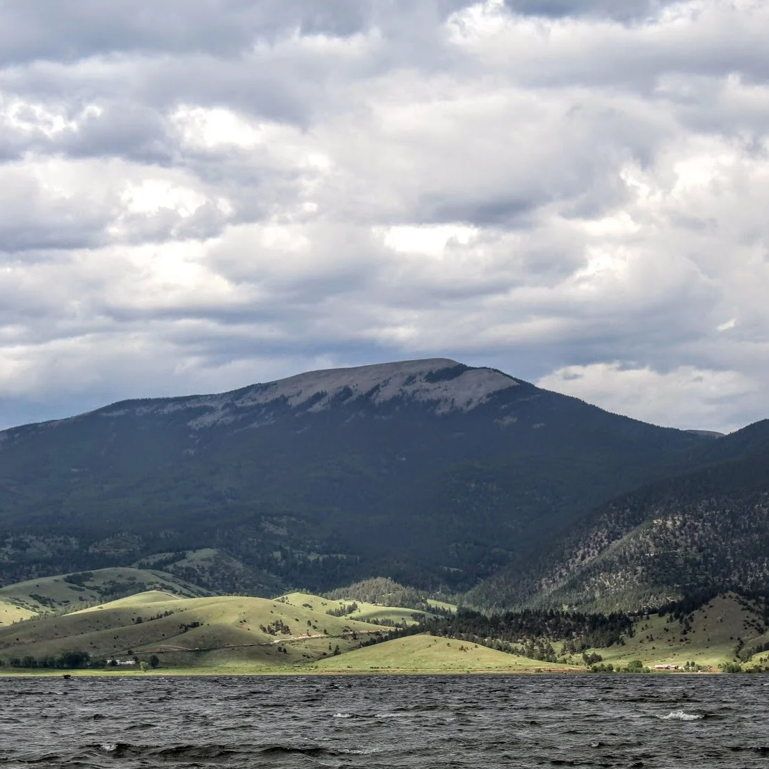
Eagle Nest, New Mexico
![BEST HIKES IN SEDONA, ARIZONA 🏜️
💫 West Fork Trail [pictured above]
💫 Fay Canyon
💫 Soldier Pass
💫 Cathedral Rock
💫 Devil's Bridge
💫 Airport Mesa
💫 Boynton Canyon
💫 Bear Mountain
#TravelTuesday](https://images.squarespace-cdn.com/content/v1/587a83384402438507e63489/1601492938718-KZLO58RMQK8J3G7MOQGT/image-asset.jpeg)
Taos Area
Trails: Moderate to Hard
Because of where Taos sits geographically, it is likely that all of your hiking will be done at a much higher elevation than either Roswell or Santa Fe.
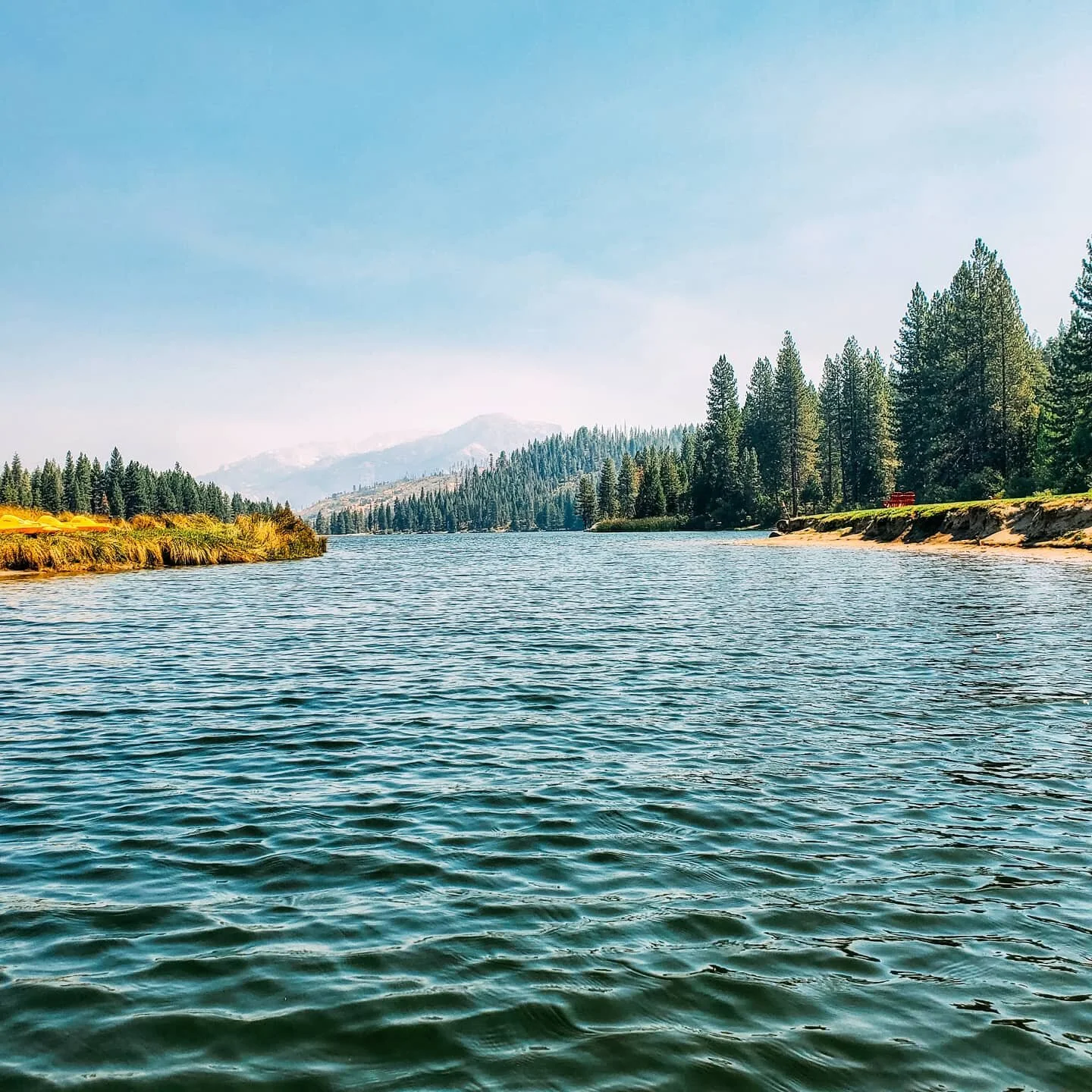
Wheeler Peak is a top attraction for visitors at a whopping 13,000+ feet in elevation (In. The. Desert.). It is so high up that Rocky Mountain Big Horn sheep have made a home here and many of the peaks and ridges in the area are covered by alpine tundra, which is incredibly rare in the Southwest. Put your lungs to the test on the eight-mile trail and make sure to take a break at Williams Lake on the way up.
Test your endurance on the ten-mile long Lost Lake Trail or the twelve-mile long Horseshoe Lake Trail which both offer views of - you guessed it - gorgeous alpine lakes as your reward. Honestly, it’s what you deserve after 3,000 feet in elevation gain.
Safe travels & happy hiking,
V.